 Home
Home


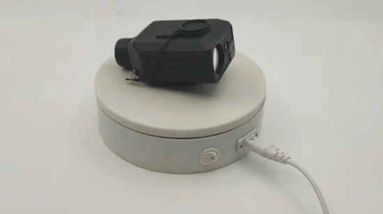
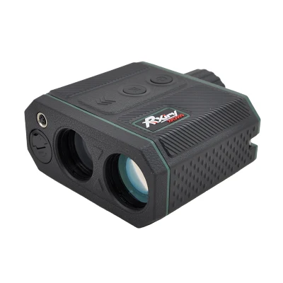
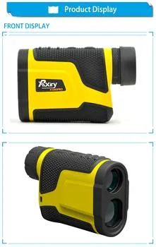
Laser Rangefinder Xr3000 for Geological Survey
Rxiry XR3000 Laser Rangefinder Introduction Congratulations on the purchase of Rxiry XR3000 laser rangefinder, a cost-ef
Send your inquiryDESCRIPTION
Basic Info.
| Model NO. | XR3000 |
| Magnification | 8X |
| Measurement Range | 0-3000m |
| Accuracy | 0.1 M |
| Transport Package | Cartons |
| Specification | 800g |
| Trademark | Rxiry |
| Origin | China |
| Production Capacity | 10000PCS/Month |
Product Description
Rxiry XR3000 Laser Rangefinder IntroductionCongratulations on the purchase of Rxiry XR3000 laser rangefinder, a cost-effective professional rangefinder.This compact and lightweight laser laseris is a flexible tool for your measurement needs. This rangefinder includes eight measurement modes, three target modes, RS232 serial data output and Rxiry measurement APP.
- Measure distance, inclination, speed and GPS position
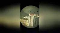
-"Thru-the-lens" viewing eliminates parallax issues so you know the laser energy is traveling directly along your line of sight.
- Handhold design for convenient operation.
- 8X magnification and LCD display for clear view.
- Strong ranging ability and fast response speed, which greatly improves the work efficiency.
- Integrating laser sensor, inclination sensor and compass , it can measure horizontal distance, slope distance, verticaldistance, inclination, calculate the - 2D missing line routine and speed and GPS position information.
- Farthest distance and closest distance mode makes the measurement more accurate under various field conditions